You are here
California Map Shows Where State Will Become Underwater From Sea Level Rise
Primary tabs
California Map Shows Where State Will Become Underwater From Sea Level Rise
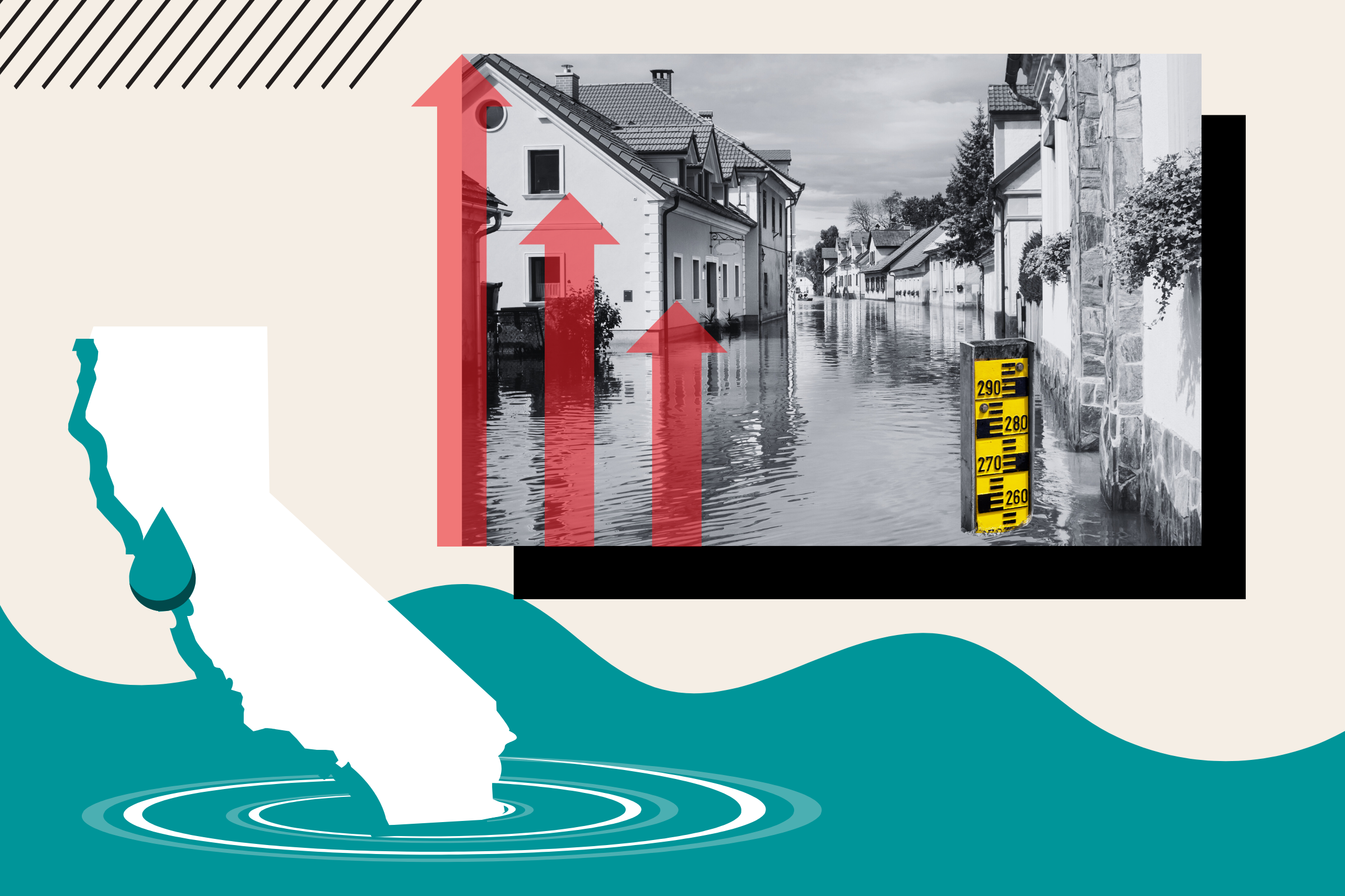
Thu, 2024-04-04 11:51 — mike kraft California map shows where state will become underwater from sea level rise Sea level rises could cause areas along California's seaboard to be flooded or entirely consumed by water, modeling suggests. Newsweek
 Areas of populous cities along California's stretch of the Pacific Ocean could be flooded or entirely consumed by water if, due to the effects of climate change, sea levels rise as predicted, modeling suggests.
By the year 2100, the Intergovernmental Panel on Climate Change estimated, there could be between 43 and 84 centimeters (1.4 and 2.8 feet) of sea level rise, and an increase of two meters (6.6 feet) "cannot be ruled out."
...
Country / Region Tags:
General Topic Tags:
Problem, Solution, SitRep, or ?:
Groups this Group Post belongs to:
- Private group -

Recent Comments